Radiometric Thermal Drone Inspection
Our thermal work is radiometric: every pixel carries a calibrated temperature, so a hot spot is a number you can act on, not just a color. Every thermal frame is captured with a paired visual photo.
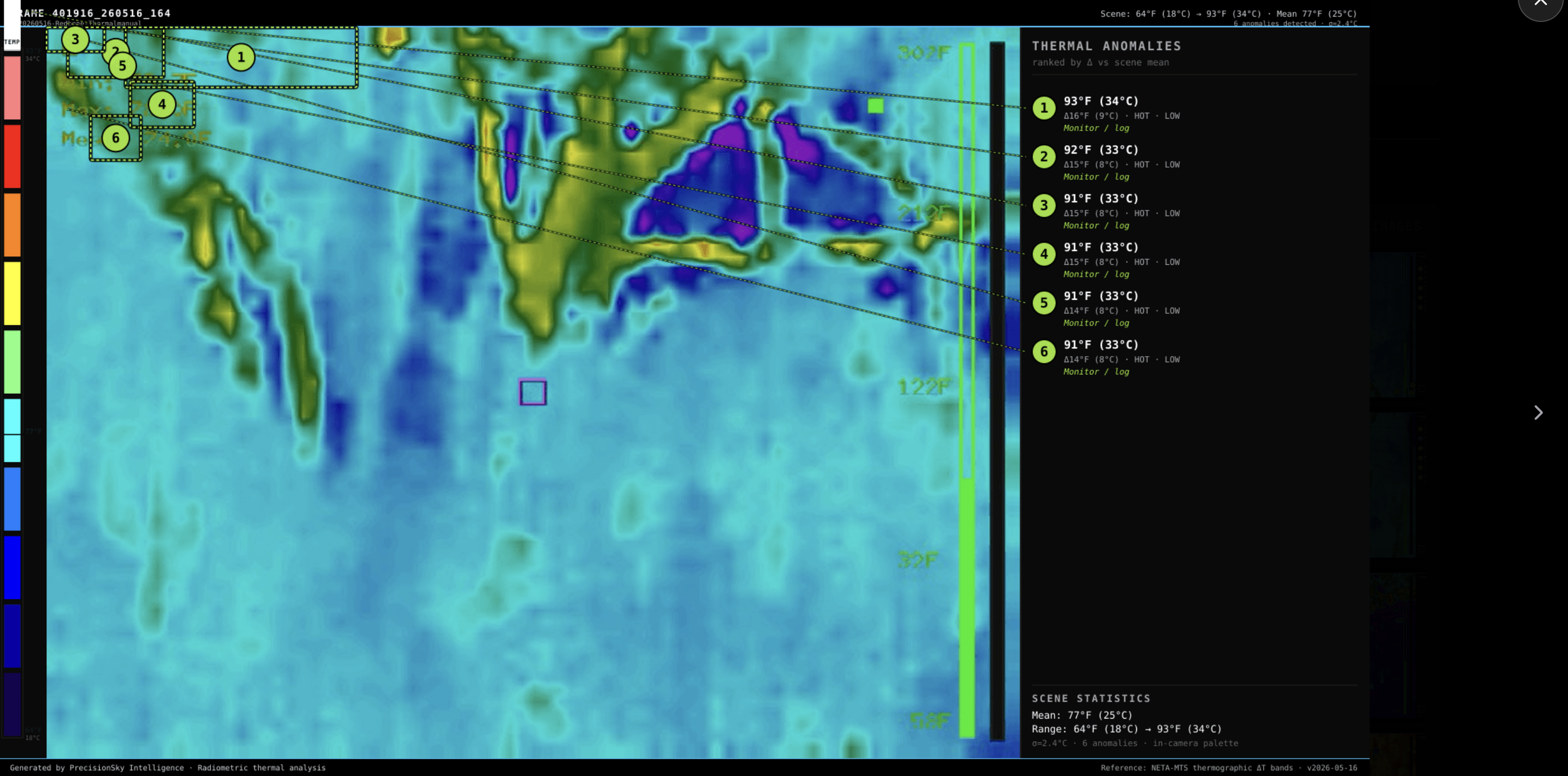
Two ways we fly it
Heat Scan (survey): a systematic grid over a roof, facility, or site, processed into a thermal layer aligned with the visual map. Good for finding problems you did not know you had.
Item-by-item inspection: the pilot works a list — this panel, that unit, this connection — and each item gets its own temperature-annotated frames. Good for verifying specific equipment.
What thermal shows
- Heat patterns on flat roofs that can indicate trapped moisture under the membrane
- Insulation gaps and envelope loss on buildings
- Overheating electrical components and connections
- Temperature behavior across industrial facilities and fixed plant
Thermal reads surface temperature, and we report what the data supports — no more. Every finding is delivered with the frames that back it.
Equipment
Teledyne FLIR Boson+ radiometric sensor (640×512) on a FreeFly Astro Max — an NDAA-compliant, Blue UAS-listed, U.S.-built aircraft with survey-grade RTK positioning.
Contact
Call or email and you talk to the people who fly and process the job.
Gary Ostwald — Founder / Chief Pilot · (402) 941-4209 · gary@precisionskyintelligence.ai
Tracey Stevens — Co-Founder / COO · (925) 787-3028 · tracey@precisionskyintelligence.ai
Offices in Weston, Nebraska and Dripping Springs, Texas. Service area: nationwide.
Aerial Intelligence with evidence — not just photos.