Construction Progress Documentation
Repeatable aerial documentation of your site: the same flight flown on a schedule, processed into orthomosaics and 3D models you can compare week over week.
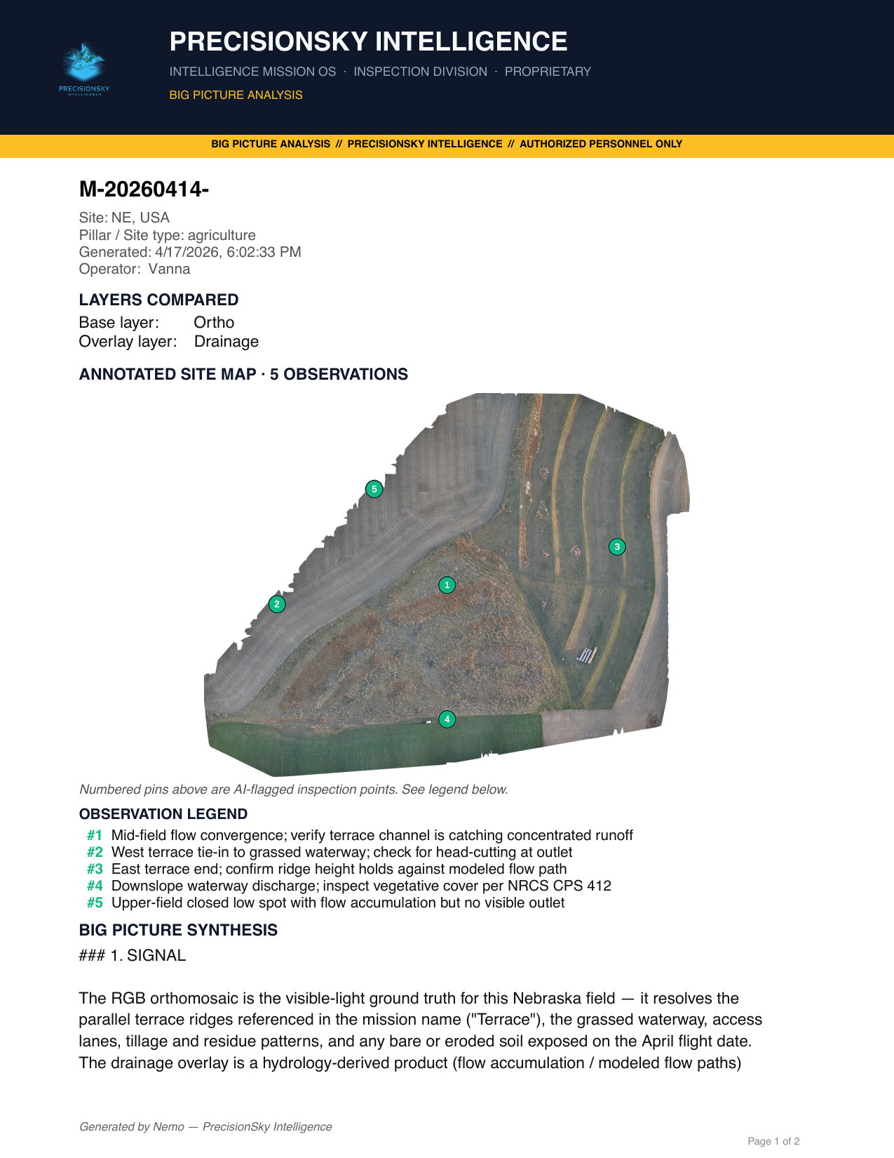
What you get
- Dated site orthomosaics — a consistent top-down record of the whole site at each visit
- Progress photo sets, geotagged and organized by date
- Earthwork and stockpile volumetrics
- Site overview reports (PDF) — see a sample analysis
Safety findings that cite the standard
Inspection reports can include safety findings cited to the specific OSHA standard — 29 CFR 1926 for construction and 29 CFR 1910 for general industry, which covers fixed plant, grain handling, and industrial facilities. Every finding cites the photo it came from; nothing gets flagged without evidence.
Why it holds up
Documentation is only useful if it is comparable. We fly the same plan at the same resolution each visit, so week-over-week differences in the imagery are differences on the ground, not differences in the flying.
Contact
Call or email and you talk to the people who fly and process the job.
Gary Ostwald — Founder / Chief Pilot · (402) 941-4209 · gary@precisionskyintelligence.ai
Tracey Stevens — Co-Founder / COO · (925) 787-3028 · tracey@precisionskyintelligence.ai
Offices in Weston, Nebraska and Dripping Springs, Texas. Service area: nationwide.
Aerial Intelligence with evidence — not just photos.