Drone Mapping, Orthomosaics & 3D Models
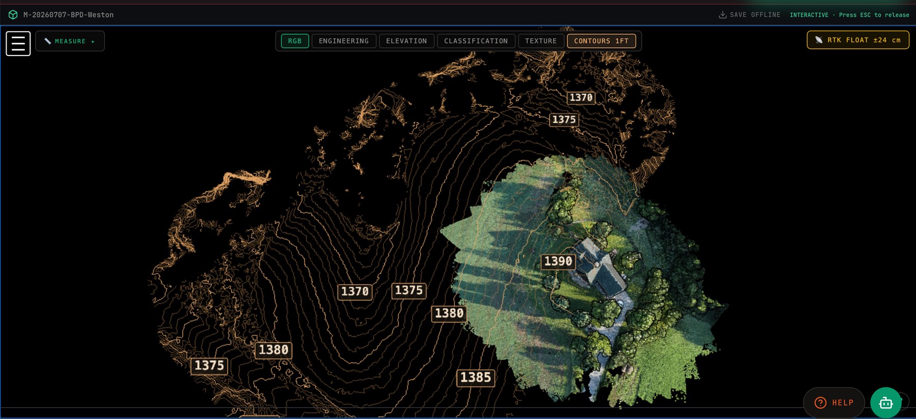
RTK-corrected aerial capture processed into orthomosaics, contours, point clouds, and textured 3D models — sub-centimeter ground resolution when the job calls for it.
Deliverables
- Orthomosaic GeoTIFF at high ground resolution
- Surface and terrain models (DSM/DTM) and contour lines
- 3D point clouds streamable in a browser — no software install for your team
- Textured 3D mesh of structures and sites
- Volumetrics for stockpiles and earthwork
Positioning you can defend
The aircraft flies with a survey-grade RTK GNSS module, and elevations are delivered on the vertical datum your engineer expects. When a number is in the deliverable, it is a measured number.
Working with licensed surveyors
We are not a licensed survey firm. For work that requires a Professional Land Surveyor's seal, we act as the capture and processing arm: your PLS keeps survey scope and certification, and our deliverables are built for that handoff.
Contact
Call or email and you talk to the people who fly and process the job.
Gary Ostwald — Founder / Chief Pilot · (402) 941-4209 · gary@precisionskyintelligence.ai
Tracey Stevens — Co-Founder / COO · (925) 787-3028 · tracey@precisionskyintelligence.ai
Offices in Weston, Nebraska and Dripping Springs, Texas. Service area: nationwide.
Aerial Intelligence with evidence — not just photos.