Agricultural Drone Imagery & Spray Support
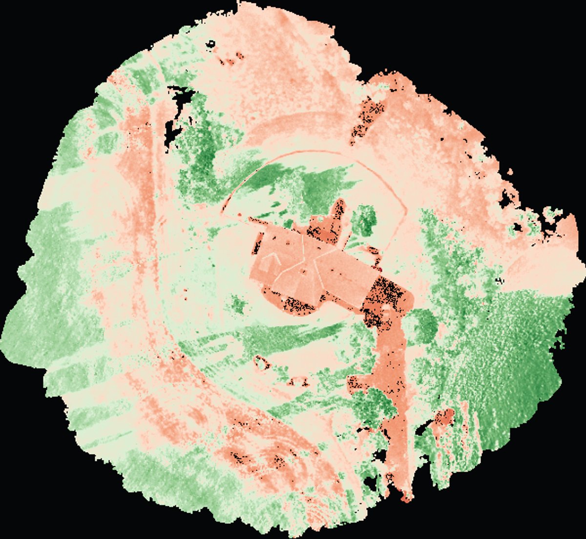
Whole-field orthomosaics, vegetation index maps, and terrain layers, processed on our own pipeline and delivered in a portal your agronomist can open on a phone.
What you get
- Whole-field orthomosaic — every flight stitched into one view of the entire field, not a patchwork of partial maps
- Vegetation index maps — ExG from RGB imagery; NDVI and related indexes when multispectral imagery is available
- Elevation, terrain, and contour layers for drainage and water-flow questions
- Field boundaries and spray-area polygons exported in the format DJI Agras-series controllers expect — one polygon per file
For spray drone operators
If you run a spray drone, you already know the sprayer is the wrong aircraft for mapping — every mapping flight is time the sprayer is not spraying. We fly the mapping flight, process it, and hand you ready-to-load field files. You keep the sprayer working.
Fly it yourself, we process
Already capturing your own imagery? Send us the files. We ingest RGB, multispectral, and thermal data and process it into the same deliverables, stored and delivered through the same portal.
Contact
Call or email and you talk to the people who fly and process the job.
Gary Ostwald — Founder / Chief Pilot · (402) 941-4209 · gary@precisionskyintelligence.ai
Tracey Stevens — Co-Founder / COO · (925) 787-3028 · tracey@precisionskyintelligence.ai
Offices in Weston, Nebraska and Dripping Springs, Texas. Service area: nationwide.
Aerial Intelligence with evidence — not just photos.